In the Deserts of Algeria: Mapping the Archaeological Expedition
All geographic information has been compiled from letters, diaries, academic papers, and newspaper accounts.
~~~~~~~~~~~~~~~~~~~~~~~~~~~~~~~~~~
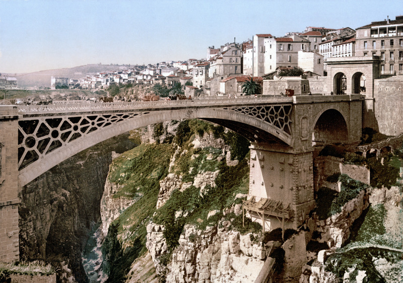
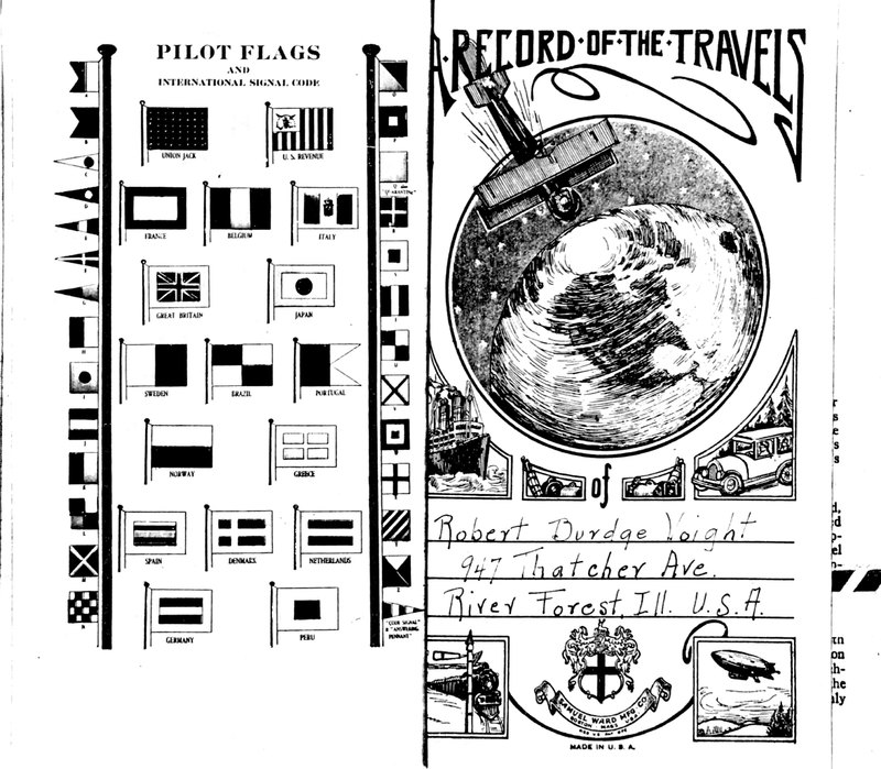
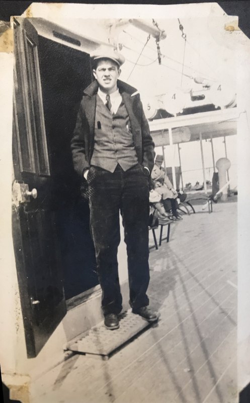
The 1930 Logan Museum Expedition to Algeria operated from the central "Camp Logan," located near the city of Constantine in northern Algeria. The exact location of the camp during this time is unknown, but in his diary, Robert Voight mentions that the camp was only about a 2 hours journey from Canrobert, Algeria. He does not mention the mode of travel, however. Robert Voight was a Beloit College student, amateur photographer, and archaeologist in training.
The Voight diary is a terse collection of observations, menus and travel itineraries. Each day takes up less than a page, catalogued in a series of short sentence fragments where Voight details trains, boats, tourism, shopping, camp menus, weather conditions, locations, and camp activities. Very little ink is devoted to any sort of description of what the archaeological work was like or where the sites they were excavating were located.
Students travelled separately to Algeria. Voight himself took a half a dozen trains, two boats, and a car. He was able to meet up with a colleague in Paris before booking tickets to Algeria aboard a steamer out of Marsailles. All other travel before this, including the two weeks it took to cross the Atlantic, were completed alone.
Few sites are mentioned in the diary, and the the ones that are mentioned are often vague. Voight makes several references to sites #12 and #51 near camp, but without knowing how he got there or the camp location, there is no telling where exactly they were or even of approximating a radius.
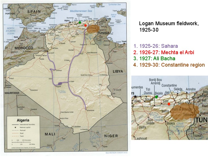
A map of the expedition sites by Dr. Bill Green, current director of the Logan Museum, gives an generalized area of the locations excavated by the 1930 expedition, covering both modern-day Algeria and the edge of Tunisia. At the time of the expedition, Algerian borders extended to cover the entire excavation area.
Voight describes the area as cold, windy and barren. The excavation crew contended often with rain and isolation. To quote Voight, "This kind of African weather isn't very cheering." Later in the expedition, as weather warmed up, the excavations became bitterly hot. Crew members kept early hours, both in the morning and at night. At one point Voight writes that he woke up late...at 8am.
~~~
Note: According to the diary, site #51 was located 3.75 miles north of camp.
~~~
Article on the 1925-1930 Logan expeditions by Bill Green.
You may need institutional access to view this article.


